Reading the Earth: How Stratigraphy Is Forcing Archaeologists to Rethink the First Americans
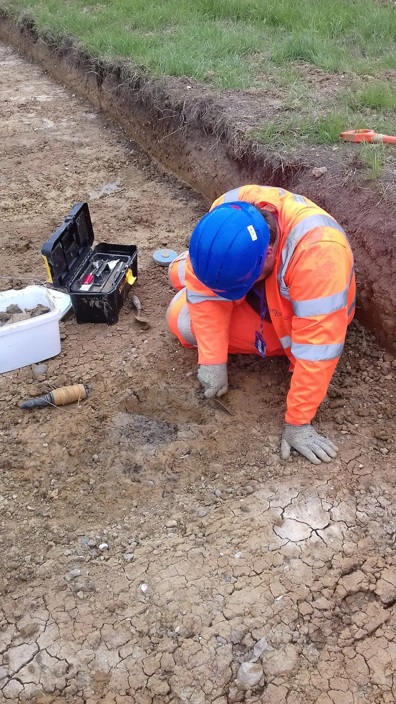
Photo: Susan Stratton, Archaeology Wales, OGL v1.0, via Wikimedia Commons
For most of the twentieth century, the dominant narrative of human arrival in North America was relatively tidy. The Clovis-first model — which held that the continent's earliest inhabitants crossed the Bering land bridge roughly 13,000 years ago and spread southward in a swift, uninterrupted migration — offered a compelling story, one built on the evidence available at the time. Then archaeologists started paying closer attention to the ground itself.
Stratigraphic archaeology, the discipline concerned with interpreting the layered composition of soil deposits, has existed for well over a century. What has changed dramatically in recent decades is the precision with which researchers can interrogate those layers. Advances in sediment micromorphology, phytolith analysis, optically stimulated luminescence (OSL) dating, and high-resolution pollen sampling have transformed the humble soil profile into something approaching a detailed historical archive. And what that archive is revealing about North America's earliest human populations is compelling scholars to revisit assumptions that once seemed settled.
What the Layers Are Telling Us
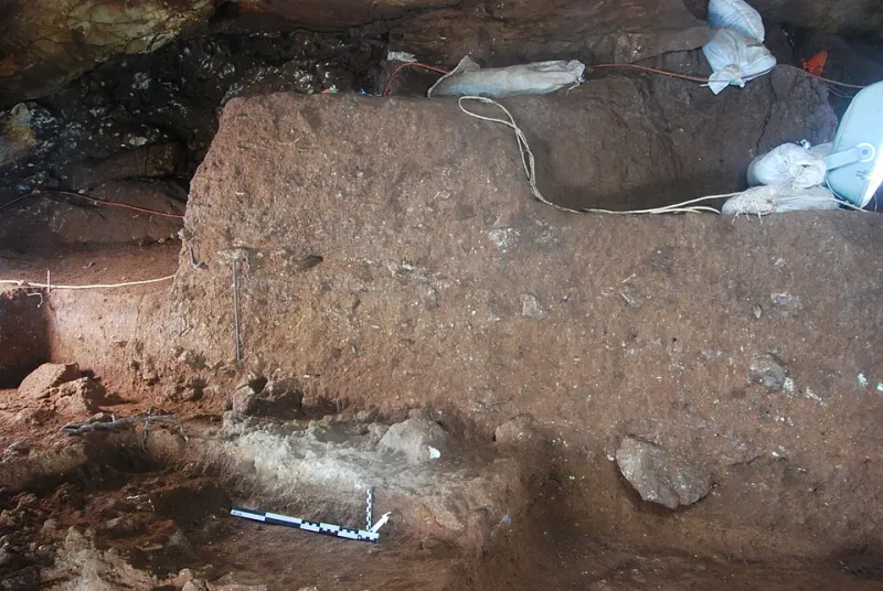
At its most fundamental level, stratigraphy operates on a deceptively simple principle: older material is buried beneath younger material. But the reality of any given site is rarely so straightforward. Soil layers shift, compress, erode, and intermingle. Human activity disrupts natural deposition sequences. Root systems carry organic material downward. Water redistributes sediment across wide distances. Interpreting what any given layer actually represents requires a kind of forensic patience that is as much art as science.
Geoarchaeologists working across North America have, in recent years, produced findings that collectively suggest human presence on the continent significantly predates the Clovis horizon. Sites such as Cooper's Ferry in Idaho, where OSL dating has returned dates approaching 16,000 years before present, and the Debra L. Friedkin site in Texas — where sediment analysis has identified artifact-bearing layers dating to as much as 15,500 years ago — have added substantial weight to what was once a fringe hypothesis. The soil, in each case, is doing the talking.
"We are not simply digging for objects anymore," notes one geoarchaeologist who has spent more than two decades working on Pleistocene-era sites across the American Southwest. "We are reading a document. Every grain of sediment, every microscopic fragment of charred plant material, every pollen grain preserved in an anaerobic layer — each of these is a sentence in a very long story."
Pollen, Phytoliths, and the Invisible Record
Among the most powerful tools now available to stratigraphic researchers is palynology — the analysis of ancient pollen preserved within sediment layers. Pollen grains are extraordinarily durable, capable of surviving for tens of thousands of years under the right conditions. When extracted and identified, they provide a detailed picture of the local vegetation at the time of deposition, which in turn reveals information about climate, seasonality, and — critically — the kinds of environments that early human populations would have encountered and exploited.
Phytoliths, microscopic silica structures produced by plants, offer a complementary record. Unlike pollen, which can travel considerable distances on the wind, phytoliths tend to remain close to the plants that produced them. Their presence in a given layer can indicate not only what plant species were present but, in some cases, whether those plants were being deliberately cultivated or harvested — a distinction with profound implications for understanding the behavioral complexity of early inhabitants.
At several sites along the Pacific Coast corridor, a route increasingly favored by researchers as an alternative to the inland ice-free passage, sediment cores have yielded phytolith assemblages consistent with systematic plant use at dates that push the boundaries of the conventional timeline. These findings do not, by themselves, prove continuous habitation. But they accumulate into a pattern that is becoming increasingly difficult to attribute to coincidence or contamination.
The Challenge of Contamination and Context
Skeptics of pre-Clovis dating have, with some justification, raised persistent concerns about the integrity of stratigraphic evidence. Sediment mixing — whether caused by bioturbation, freeze-thaw cycles, or the activities of ancient inhabitants themselves — can displace artifacts and organic materials from their original depositional contexts, producing dates that appear anomalously early. A charred seed found in a layer does not automatically prove that humans deposited it there at the time that layer was formed.
This is precisely why the field has invested so heavily in multi-proxy analysis: the practice of cross-referencing multiple independent lines of evidence before drawing conclusions. OSL dating of quartz grains within the sediment matrix, radiocarbon dating of organic inclusions, micromorphological examination of soil structure under magnification, and geochemical analysis of mineral composition are increasingly deployed in combination, with each method serving as a check on the others.
"The bar for extraordinary claims is appropriately high," acknowledges a researcher affiliated with a major university archaeological program in the Pacific Northwest. "What has changed is that we now have the methodological toolkit to actually meet that bar. We are not asking people to take our word for it. We are showing them the data, layer by layer."
Rethinking Arrival Routes and Timelines
The implications of stratigraphic findings extend beyond mere chronology. If humans were present in North America 15,000 or more years ago — and if coastal and interior sites across the continent are beginning to suggest they were — then the story of how they arrived, and what routes they followed, becomes considerably more complicated.
The traditional Bering land bridge model, which posited a single migration event through an inland corridor between the Laurentide and Cordilleran ice sheets, has given way to a more pluralistic view. Coastal migration routes, island-hopping across the North Pacific, and potentially multiple independent migration events are all now considered viable hypotheses. Sediment analysis at submerged coastal sites — some now lying beneath tens of feet of ocean water, inundated by post-glacial sea level rise — is an emerging frontier, with underwater archaeologists partnering with geoarchaeologists to recover stratigraphic evidence from environments that were once dry land.
Each new layer examined, each new date produced, adds resolution to a picture that was once painted in the broadest possible strokes. North America, it is becoming clear, was not a blank canvas awaiting a single wave of colonizers. It was a landscape encountered, explored, and inhabited across a span of time that may ultimately prove to be far longer than anyone imagined.
The Archive Beneath Our Feet
There is something quietly profound about the notion that the most important records of human prehistory are not housed in museums or libraries, but buried in the ground beneath us — preserved in the chemical signatures of ancient soils, in the fossilized remnants of plants that no living person has ever seen, in the optical properties of quartz grains that last saw sunlight before the glaciers retreated.
For the researchers who spend their careers decoding these records, the work carries a particular urgency. Development, agriculture, erosion, and climate change are steadily destroying stratigraphic sequences that took millennia to form. Every site lost to a construction project or an eroding riverbank is a chapter torn from a book that cannot be rewritten.
The earth has been keeping these records faithfully. The question, increasingly, is whether we will read them carefully enough — and in time.