Beneath the Smoke: What Centuries-Old Coal Fires Are Teaching Archaeologists About Ancient Life
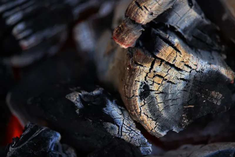
In the hills of western Pennsylvania and the high plains of Montana, the ground itself has been burning longer than the United States has existed. Coal seams ignited by lightning, wildfire, or human hands have smoldered underground for generations — in some cases, for centuries — venting through cracks in the earth, baking overlying rock into brick-red clinker, and slowly redrawing the topology of entire hillsides.
To geologists, these combustion features are curiosities of mineralogy. To archaeologists, they are something more unusual: a durable, self-recording archive of human presence, one that can be read across millennia.
A Landscape That Keeps Its Own Record
When a coal seam burns, the heat does more than consume fuel. It alters the chemistry of everything above it. Shale and clay bake into clinker — a hardened, brick-like material that resists erosion long after the surrounding softer sediment has washed away. The result is a distinctive topography of reddened ridges, collapsed ground, and steaming vents that can persist for thousands of years after the last ember dies.
For survey archaeologists, that persistence is invaluable. Clinker formations and thermally altered stone scatter are visible from aerial imagery and even satellite sensors, and they tend to cluster in the same landscapes that drew human settlement: river valleys, trade corridors, and uplands rich in game and raw material. In parts of the northern Great Plains, archaeologists have used burned-coal horizons as stratigraphic markers — fixed points in the earth's timeline against which occupation layers can be dated and correlated.
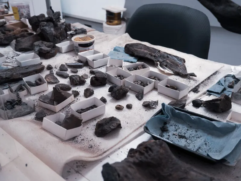
The logic is elegant. Because a fire's thermal effects can be dated — through thermoluminescence of baked sediments or radiocarbon of associated charcoal — a single smoldering event becomes a chronological anchor. Artifacts found above the burn postdate it; material sealed beneath it predates it. In regions where organic remains preserve poorly, a baked seam can do the work of a datable hearth.
Living With a Burning Ground
The deeper question is not merely how ancient fires can date sites, but how ancient people related to them. Ethnographic and archaeological evidence suggests Indigenous communities across North America knew exactly where the earth burned and treated these places with a mixture of practicality and caution.
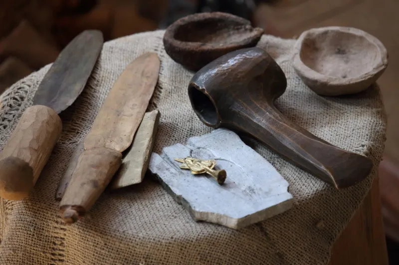
Thermally altered stone — rock fractured by heat and used in boiling, cooking, and sweat-lodge practices — appears in abundance at sites near naturally burning seams. Whether some communities deliberately ignited coal or simply harvested its heat where it surfaced is still debated, but the pattern is clear: burning landscapes were incorporated into life rather than abandoned wholesale. They offered warmth, hardened stone for tools, and open, vegetation-sparse ground that attracted game.
At the same time, natural combustion posed real hazards. Collapsing burn zones, toxic gases, and unstable ground would have made some areas dangerous for structures or cemeteries. The spatial distribution of sites around known burn zones — close enough to exploit, far enough to avoid the subsidence — hints at a sophisticated, transmitted understanding of these landscapes. That knowledge, encoded in settlement choices rather than texts, is precisely what archaeological mapping is now recovering.
Modern Fires, Ancient Parallels
Contemporary America is still living with the same phenomenon. The Centralia mine fire in Pennsylvania, burning since 1962, forced the abandonment of an entire town and remains one of the most studied anthropogenic combustion events in the world. Fires in Colorado, Wyoming, Kentucky, and West Virginia have burned for decades, consuming seams faster than agencies can extinguish them.
For archaeologists, these modern events serve as natural laboratories. By documenting exactly how a burning seam alters soil chemistry, fractures artifacts, and deforms surface features in real time, researchers build models that can be applied backward — to distinguish ancient natural burns from human-set fires, and to understand what thermal alteration does to the archaeological record itself. Heat, after all, is destructive as well as informative: ceramics vitrify, organics vanish, and radiocarbon signatures can be scrambled. Knowing precisely how a landscape burns helps scientists know what has been lost.
Reading Fire as a Document
The broader lesson of America's burning coal seams is that the archaeological record is not confined to objects. It is written in geology, chemistry, and heat — in landscapes that remember events long after the people who witnessed them are gone.
As remote sensing, thermal imaging, and dating techniques improve, researchers expect to identify many more fire-altered zones across the continent's coal-bearing regions, from the Appalachian basin to the Powder River country. Each one is a potential timestamp, a settlement magnet, and a record of how earlier inhabitants weighed opportunity against danger.
The fires themselves may never be fully extinguished. But as archives, they are only beginning to be read.